Historical background of Wolaita zone
Wolaita is a region in Ethiopia that serves as an administrative zone. It is situated in the southern part of the country and shares borders with various other zones and regions. To the south, it is bordered by Gamo Zone, while the Omo River separates it from Dawro to the west. On the northwest, it is adjacent to Kembata Zone and Tembaro Special Woreda, while to the north it meets Hadiya. The Oromia Region lies to the northeast, separated by the Bilate River, and to the east is the Sidama Region. Finally, to the southeast, Wolaita is separated from the Oromia Region by Lake Abaya.
The administrative center of Wolaita is Sodo, which serves as a hub for governmental activities and decision-making processes. In addition to Sodo, there are several other significant towns within the region. These include Areka, Boditi, Tebela, Bale Hawassa, Gesuba, Gununo, Bedessa, and Dimtu. Each of these towns contributes to the regional development and plays a role in the social and economic landscape of Wolaita.
Wolaita's strategic location and diverse geographical features make it a significant region within Ethiopia. With its varied landscapes and natural resources, it offers opportunities for various economic activities such as agriculture, trade, and tourism. The region is known for its fertile soil, which supports the cultivation of crops such as coffee, maize, teff, and sorghum. Additionally, Wolaita's proximity to major rivers and lakes provides access to water resources that are crucial for irrigation and fishing industries.
Culturally, Wolaita is home to the Wolayta people, who have a rich heritage and unique traditions. The Wolayta language is widely spoken in the region, along with other languages such as Amharic and Oromo. The people of Wolaita are known for their artistic talents, particularly in music, dance, and crafts. Traditional ceremonies and festivals are an integral part of their cultural identity and are celebrated with enthusiasm and joy.
Overall, Wolaita is a vibrant and diverse region in Ethiopia, characterized by its geographical beauty, cultural richness, and economic potential. As an administrative zone, it plays a crucial role in the governance and development of the country. With its unique blend of natural resources and cultural heritage, Wolaita offers a glimpse into the rich tapestry of Ethiopia's history and present-day dynamics.
Wolayita boasts an extensive road network, with a total of 358 kilometers (222 miles) of all-weather roads and 425 kilometers (264 miles) of dry-weather roads. This translates to an average road density of 187 kilometers per 1000 square kilometers. The region's highest peak is Mount Damota, towering at 2738 meters above sea level.
History
Prior to 1894, the Wolayta people were renowned for having more than fifty kings across four dynasties. These kings were bestowed with the title of Kawo. The Wolayta community takes great pride in their unique, continuous, and powerful kingdoms that can be traced back to the 13th century and even further into the first millennium. However, in 1894, their history took a turn when the last Kawo, Tona Gaga, led a valiant war of resistance against Emperor Menelik's expansionist campaigns.
The war waged by Tona Gaga and his people was one of the bloodiest battles during Menelik's reign, as it resulted in the incorporation of the Wolaita Kingdom and other neighboring nationalities and tribes into the Ethiopian Empire. It is worth noting that the Wolayta's military resistance proved formidable, even against Menelik's generals armed with modern firearms. This showcased not only the strength of their military organization but also the resilience and determination of the Wolayta people.
Ultimately, however, the Wolayta resistance was crushed, and they were conquered by Ethiopia in 1894. Emperor Menelik II himself led this decisive battle, marking the end of Wolayta's independence. Despite centuries of oppression, the Wolayta people managed to maintain their distinct national identity. They possess a unique language, rich culture, vibrant traditions, and a deep-rooted history that sets them apart. Additionally, their psychological makeup and contiguous geography contribute to their cohesive identity as a community.
From 1894 onwards, the Wolayta people have persevered through adversity and continue to preserve their heritage and traditions. They have faced numerous challenges throughout history but have managed to retain their sense of identity and pride as a distinctive nationality within Ethiopia. Today, the Wolayta people remain an integral part of Ethiopia's diverse cultural landscape, contributing to its tapestry of traditions and histories.
Wolaita Zone
During the period of the Transitional Government from 1991 to 1994, the Wolaita people had their own separate region known as Kilil 9. However, when the federation was established in 1995, the Wolaita region was merged into the larger Southern Nations, Nationalities, and Peoples' Region (SNNPR).
In 1997, the ruling party SEPDM attempted to create a new administrative unit called WOGAGODA by merging neighboring ethnic groups with the Wolaita people. This move was met with strong resistance from the Wolaita population, who feared that it would erode their centuries-old culture and identity.
Until the year 2000, Wolaita was considered a part of the North Omo Zone. According to the 1994 national census, its residents were included in that particular zone. However, there was tension between the different ethnic groups in the North Omo region. Despite the ruling party's efforts to stress the importance of cooperation and unity among the smaller ethnic groups to optimize government resources, this friction eventually led to the division of the zone in 2000. As a result, not only was Wolaita established as a separate entity, but the Gamo Gofa and Dawro Zones, as well as two special woredas, were also created.
In recent years, there has been growing support for the constitutional rights of the Wolaita people to have their own state.
On August 1, 2022, the Wolaita zonal council made the decision to reverse its previous stance and agreed to join the other zones and special woredas in the formation of a unified state. Consequently, in February, a referendum took place in Wolaita and the five other zones, as well as the five special woredas in the Southern Nations, Nationalities, and Peoples Regional State (SNNPR), to determine whether Wolaita, Gamo, Gofa, South Omo, Gedeo, and Konso zones, along with Dirashe, Amaro, Burji, Basketo, and Ale special woredas, would establish an independent autonomous state or remain within the SNNPR.
On February 20th, the National Election Board of Ethiopia revealed the outcomes of a referendum. However, the official outcomes for the Wolaita Zone were not disclosed at that time. According to the board, this was due to various irregularities that occurred before and during the voting process. These irregularities stemmed from the strong desire of the Wolaita people to establish their own regional state. Consequently, the Wolaita Zone referendum was conducted again on June 19th, 2023. This second referendum differed from others in Ethiopia as it combined voter registration and voting into a single day. After a period of eight days, the results were announced, confirming that the Wolaita Zone would become part of the South Ethiopia Regional State.
Geography
Location and Borders
o Wolaita is one of the 16 Zonal Administrations in the Southern Region of Ethiopia, located about 300 kilometers (190 mi) to the south of Addis Ababa.
o It shares its borders with Tambaro to the northwest, Arsi-Oromo to the east (separated by the Bilate River), Lake Abaya and Kucha to the south, and the Omo River to the west.
Natural Features
o The Omo River is host to the Gilgel Gibe III Dam, a hydroelectric power plant with a capacity of 1870 Megawatts.
o The region's vegetation and climate are heavily influenced by its elevation, which ranges between 1,500 and 1,800 meters (5,900 ft) above sea level.
o There are five mountains within the region that exceed 2,000 meters (6,600 ft) in height, with Mount Damota reaching an impressive 3,000 meters at its center.
o There are two distinct geographical areas: the highlands known as Gezziya and the lowlands called Garaa.
Water Bodies and Soil
o Within the highlands, streams and small rivers are present, while Lake Abaya is surrounded by numerous thermal hot springs emitting boiling and steaming water.
o The region's soil, characterized by its heavy red color transitioning to brown and black during the rainy season, possesses a delicate texture akin to sand. When dry, it hardens significantly, resembling a brick-like consistency.
o The soil layer remains considerably deep, averaging around 30 meters, allowing for successful ploughing and digging activities after rainfall.
o The fertility of the soil enables it to yield two harvests per year in the presence of consistent rainfall.
Climate in Wolaita
Rainfall Pattern
o Wolaita experiences a bimodal rainfall pattern from March to October.
o The first rainy season occurs from March to May, while the second season takes place from July to October, with the highest rainfall in July and August.
o Over the past 43 years, Wolaita has received an average annual rainfall of 1,014 mm (39.9 in).
o On average, the entire region receives 1,350 millimetres (53 in) of rainfall per year.
Temperature
o The average temperature throughout the year is 19.9 °C, with monthly temperatures ranging from 17.7 °C in July to 22.1 °C in February and March.
o The temperature in the region remains consistent, ranging from 24 to 30 °C during the day and 16 to 20 °C at night all year round.
Seasons
o The year is divided into two distinct seasons: the wet season (balgguwaa), which lasts from June to October, and the dry season (boniya), which spans from October to June.
o In February, there is a brief period known as the "little rains" (badhdheesaa) that interrupts the dry season.
o During the dry season, there is a prevailing powerful eastern wind.
o The wet seasons experience heavy precipitation and violent storms that can last for an entire evening or night towards the end of the season.
o Both the dry and wet seasons are susceptible to hailstorms that can damage crops and tornadoes that can uproot trees.
o Almost every morning during the rainy season, fog covers the valleys, dissipating as the sun rises.
Population Statistics of Wolaita Zone
According to the 2021 population projection conducted by the Central Statistical Agency of Ethiopia (CSA), the Wolaita Zone has a total population of 6,142,063 individuals, residing in an area measuring 4,208.64 square kilometers (1,624.96 sq mi). Out of the entire population:
o Females make up 3,115,050
o Males account for 3,027,013
o The population density in Wolaita is approximately 520.8 individuals per square kilometer.
Historical Data
Based on the 2007 Census carried out by the CSA, the total population of this zone was reported as 1,501,112. Among them:
o 366,567 or 11.49% were living in urban areas
o 1,196 or 0.08% identified as pluralists
o The zone had a total of 310,454 households, with an average of 4.84 persons per household and 297,981 housing units.
Demographics
o The dominant ethnic group in the zone was the Wolaita, constituting 96.31% of the population, with other ethnic groups accounting for the remaining 3.69%. In terms of language:
o 96.82% of the inhabitants spoke Wolaita as their first language
o The remaining 3.18% spoke other primary languages.
Religious Affiliation
Regarding religious affiliation:
o 51.34% identified as Protestants
o 43.04% practiced Ethiopian Orthodox Christianity
o 5.35% embraced Catholicism.
o other religions mekeup the rest of the percentage
Urbanization
Wolaita Zone is an administrative division located in Ethiopia, consisting of sixteen districts (woredas) and seven city administrations. The zone encompasses various towns and cities, each serving different purposes. Sodo town is the administrative and trading center, strategically positioned at the intersection of multiple roads leading to seven entry points.
The following are the urban centers within the Wolaita Zone:
Achura, Areka, Bada, Bale Hawassa, Bedessa, Beklo Segno, Bitena, Buuge, Boditi, Bombe, Dalbo, Dimtu, Edo, Faracho, Gacheno, Galcha, Gara Godo, Gesuba, Girara, Gocho, Gununo, Halale, Hanaze, Hembecho, Leera, Kercheche, Ladisa, Lasho, Oydu Chama, Shanto, Tebela, Wamura, Wolaita Sodo, and Zaro.
These urban centers serve various functions, including administrative, commercial, and residential purposes, within the Wolaita Zone.
Economy of Wolaita
Agriculture is the primary source of livelihood for more than 90% of the rural population in the region. Animal husbandry plays a complementary role to crop production, with the livestock population comprising an estimated 685,886 cattle, 87,525 sheep, 90,215 goats, 1951 horses, 669,822 poultry, and 38,564 beehives.
The farmers in the area are well-known for livestock production, particularly cattle for organic beef and butter. They have a long-standing tradition of fattening oxen using locally sourced feed supplements, such as cereal grains, root and tuber crops, household leftovers, and grass.
The Sodo milkshed is an area with strong potential for growth in milk production. Major crops that provide significant benefits to smallholder farmers in Wolaita and surrounding areas include maize, haricot beans, taro, sweet potatoes, enset, bananas, avocados, mangoes, and coffee. Cassava is also gaining popularity in recent times.
Mixed farming practices involving the production of cereals, root crops, enset, and coffee are common in the region. Enset, a drought-resistant crop, plays a crucial role in the Wolaita food economy, serving as a staple or co-staple food. In areas with limited land and low cereal harvests, the high-yielding enset offers an opportunity for food security, making it a popular choice among farmers.
Woredas and City administrations in Wolaita Zone
| Number | Woredas | Seat |
|---|---|---|
| 1 | Abala Abaya | Faracho |
| 2 | Bayra Koysha | Beklo Segno |
| 3 | Boloso Bombe | Bombe |
| 4 | Boloso Sore | Areka* |
| 5 | Damot Gale | Boditi* |
| 6 | Damot Pulasa | Shanto |
| 7 | Damot Sore | Gununo* |
| 8 | Damot Weyde | Bedessa |
| 9 | Diguna Fango | Bitena |
| 10 | Hobicha | Bada |
| 11 | Humbo | Tebela* |
| 12 | Kawo Koysha | Lasho |
| 13 | Kindo Didaye | Halale |
| 14 | Kindo Koysha | Bale Hawassa* |
| 15 | Offa | Gesuba* |
| 16 | Sodo Zuria | Sodo* |
* Urban administrations considered as districts for all administrative purposes.
List of chief administrators of Wolaita Zone
| Full Name | Job Title | Working Year | Image | Option |
|---|---|---|---|---|
| Mamo Godebo | Wolaita Zone Administrator | 2000-01-01 to 2001-01-01 |  | |
| Firew Altaye | Wolaita Zone Administrator | 2001-01-01 to 2004-01-01 | .jpg) | |
| Amanuel Otoro | Wolaita Zone Administrator | 2004-01-01 to 2008-01-01 |  | |
| Haileberhan Zena | Wolaita Zone Administrator | 2008-01-01 to 2010-01-01 |  | |
| Tesfaye Yigezu | Wolaita Zone Administrator | 2011-01-01 to 2013-01-01 | | |
| Eyob Wate | Wolaita Zone Administrator | 2013-01-01 to 2016-01-01 |  | |
| Asrat Tera | Wolaita Zone Administrator | 2016-07-02 to 2018-07-02 | 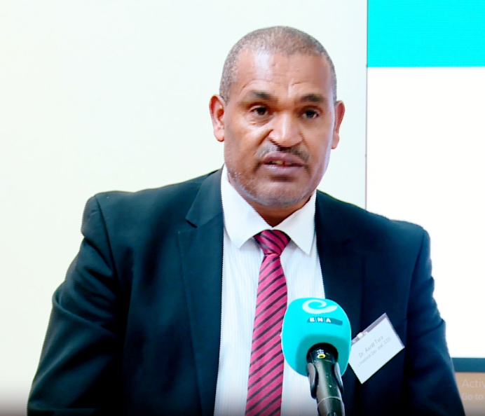 | |
| Getahun Garedew | Wolaita Zone Administrator | 2018-07-02 to 2018-11-13 |  | |
| Dagato Kumbe | Wolaita Zone Administrator | 2018-11-13 to 2020-08-28 | 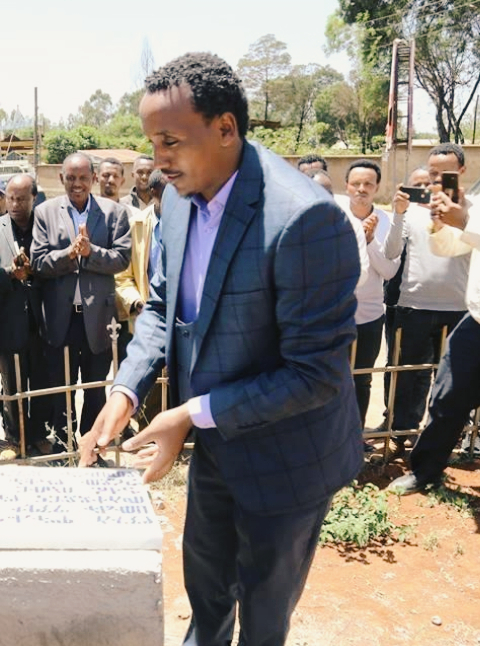 | |
| Endrias Geta | Wolaita Zone Administrator | 2020-08-28 to 2021-10-19 |  | |
| Akililu Lemma | Wolaita Zone Administrator | 2021-10-21 to 2023-09-08 |  |